Premium Only Content

Looking for Old Roads in Stevens Creek Canyon
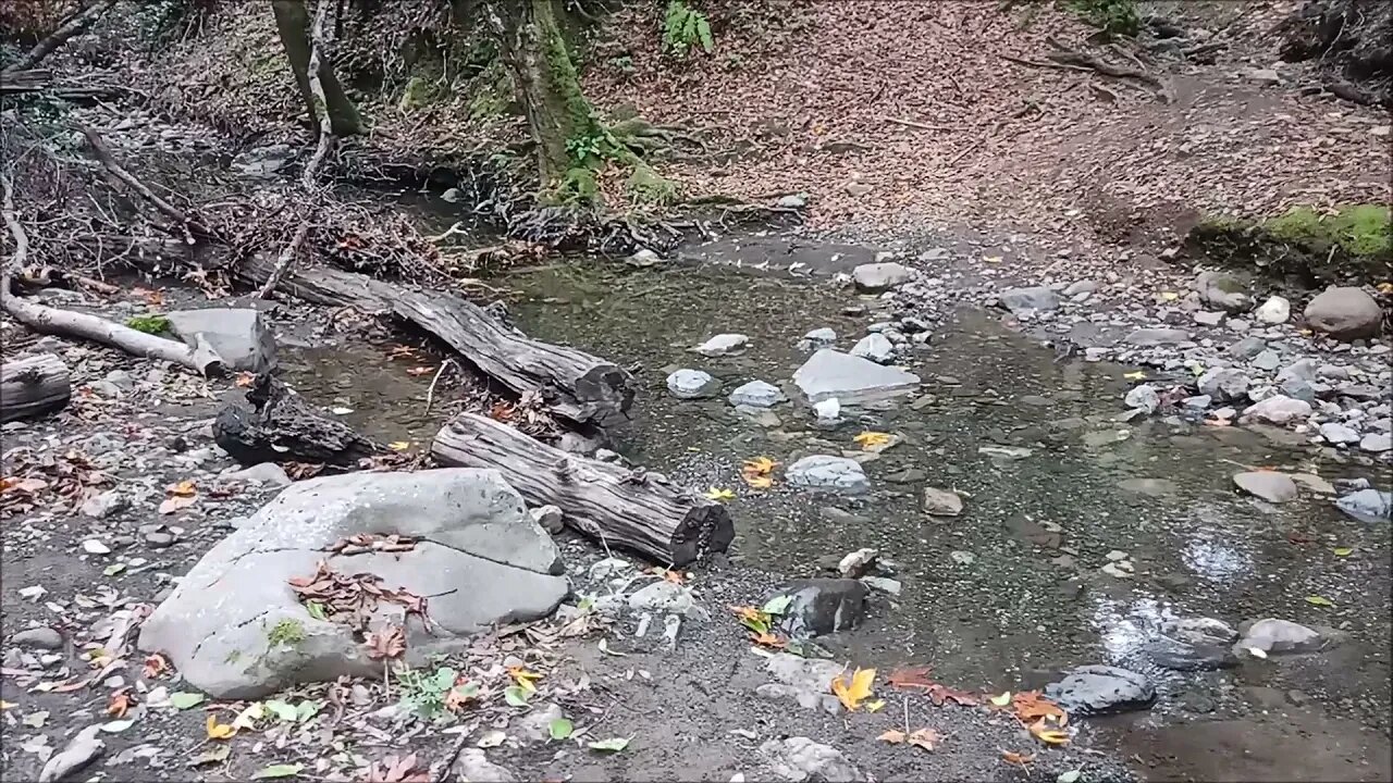
Searching for roads from the 1800's in Stevens Creek Canyon, west of Cupertino, CA.
Several years ago, I stumbled across some historical USGS topo maps of the area where I do a lot of my bike rides in. Over years of riding up here, I've observed what looked like signs of old roads and sure enough, some of them were shown on these old maps. It's taken some time to figure out the logistics of how to explore these on bike rides.
The traditional approach would be to drive to one of the parking areas up on top of the ridge and hike several miles down to this area. Or you can park several miles down Stevens Canyon Rd. and then hike several miles up the pavement.
Fanny pack link:
https://amzn.to/3sAmoEW
USGS Historical Topographic Maps:
https://www.usgs.gov/programs/national-geospatial-program/historical-topographic-maps-preserving-past
More to come, looking at the USGS Historical Topographic Map Collection...
This series of videos is my way of documenting all the places I've explored along with ideas for further exploration. It seems on most of these trips, I'll find one or more new things to check out on further trips.
Subscribe for more content like this
Comment, rate, share & click the bell icon
And as always, thanks for watching
-
 3:47:23
Nerdrotic
4 hours ago $11.87 earnedFantastic 4 HER! Daredevil BORE Again SUCKS! Disney Star Wars is DESPERATE | FNT Vegas 350
53.7K3 -
 LIVE
LIVE
MyronGainesX
18 hours ago $4.88 earnedFormer Fed Explains FSU Shooting, Charlie Kirk vs Groyper Debate!
1,912 watching -
 53:30
53:30
Sarah Westall
1 hour agoLingering IRA Scandal, Central Banker’s Criminal Dilemma and the Silver Squeeze w/ Andy Schectman
3.73K -
 LIVE
LIVE
Edge of Wonder
4 hours agoWhite House: ‘We Can Manipulate Time and Space’
498 watching -
 13:48
13:48
T-SPLY
6 hours agoEL SALVADOR TRIP FLOPS: Senator Slammed Hard!
50.2K44 -
 LIVE
LIVE
Sgt Wilky Plays
2 hours agoFriday Firefight Fortnite
51 watching -
 34:24
34:24
BonginoReport
4 hours agoVaccine Victim Speaks Out As Her Bones DIE off - Nightly Scroll w/ Hayley Caronia (Ep.30)
53K77 -
 LIVE
LIVE
The UC Zone
1 hour ago🔴LIVE - ESCAPE FROM TARKOV - BACK WITH THE SQUAD P2
46 watching -
 1:38:21
vivafrei
5 hours agoDemocrats Defend the INDEFENSIBLE! Canada Looks Like it is FOOKED! Florida Shooter Latest & MORE!
99.5K68 -
 28:45
28:45
Stephen Gardner
4 hours ago🔴TRUMP CURSE: Letitia James PANICS as ALL Documents made public!
53K74