Premium Only Content

Another USGS Mapping Tool: Hillshade
An introduction to the USGS National Map Viewer application, with Hill Shade layers, to look for signs of old roads and building sites while exploring Stevens Creek Canyon on on bicycle and on foot. Some might think a map is a map, who cares. If you think (Apple/Google/Bing/etc.) Maps is the be all and end all of maps, then you might want to skip this video.
There's a choice of 12 base maps for this viewer, they basically form the user interface. Then you can add layers of different data over that base map. The 3D Elevation Program data layers are built in and have different visualization modes including multiple hill shade options. Then there are 10,000 additional data sets that can be imported as desired. The hill shade feature uses 1 or more light sources to case shadows on the 3D elevation model to highlight features on the surface.
I find that the resolution of this hill shade is down around 6 ft. / 2 m. so it'll show up old roads and wider modern multi-use type trails. It won't show narrow single track trails nor will it show roads or trails that just sit on the surface without any noticeable cut into the surrounding surface.
Apparently GaiaG is looking into adding a hill shade option. It seems that OSMand may have a hill shade option in the Maps+ version that I may need to try out.
@Peter Zelinka video: https://youtu.be/nCBEBIBsJzM
USGS National Map Viewer:
https://apps.nationalmap.gov/viewer/
3D Elevation Program:
https://www.usgs.gov/3d-elevation-program
USGS Historical Topo Maps:
https://www.usgs.gov/programs/national-geospatial-program/historical-topographic-maps-preserving-past
View/download maps on the TopoView site:
https://ngmdb.usgs.gov/topoview/
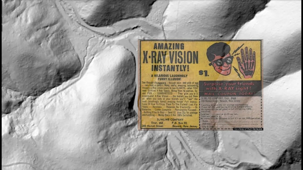
X-Ray Specs Ad: Kirk Demarais: http://www.secretfunspot.com/
Subscribe for more content like this
Comment, rate, share & click the bell icon
And as always, thanks for watching
#USGS #HillShade
-
 2:05:15
Right Side Broadcasting Network
4 hours agoLIVE REPLAY: President Trump Attends UFC Fight 314 - 4/12/25
54.5K9 -
 LIVE
LIVE
BlackDiamondGunsandGear
2 hours agoWho’s in Town for This Stream?
256 watching -
 32:55
32:55
The Connect: With Johnny Mitchell
22 hours ago $0.02 earnedInside America's LARGEST Pot Trafficking Gang: How Florida Fishermen Became #1 Most Wanted Cartel
4.37K -
 1:24:56
Quite Frankly
12 hours ago"Wild Tales: Crazy Story Hotline" | The Brothers Ep. 1
31.3K9 -
 12:37
12:37
Tundra Tactical
9 hours ago $0.52 earned🚫🚫 Biden Era GUN CONTROL Gone!!!! 🚫🚫
27K10 -
 1:00:09
Motherland Casino
1 hour ago $0.01 earnedCynthia X Mia
5.07K1 -
 LIVE
LIVE
BubbaSZN
8 hours ago🔴 LIVE - BUBBA PLAYS WARZONE SEASON 3
90 watching -
 2:29:26
Mally_Mouse
8 hours agoSaturday Shenanigans!! - Let's Play: REPO
34.3K12 -
 8:07
8:07
WhaddoYouMeme
1 day ago $0.49 earnedBut His Response Left Them Speechless!
27.3K42 -
 21:24
21:24
marcushouse
16 hours ago $2.80 earnedStarship Launches Won’t Be the Same After This! 🔥
28.1K16