Premium Only Content

Exploring the Upper Road on the Grizzly Flat / North Trail
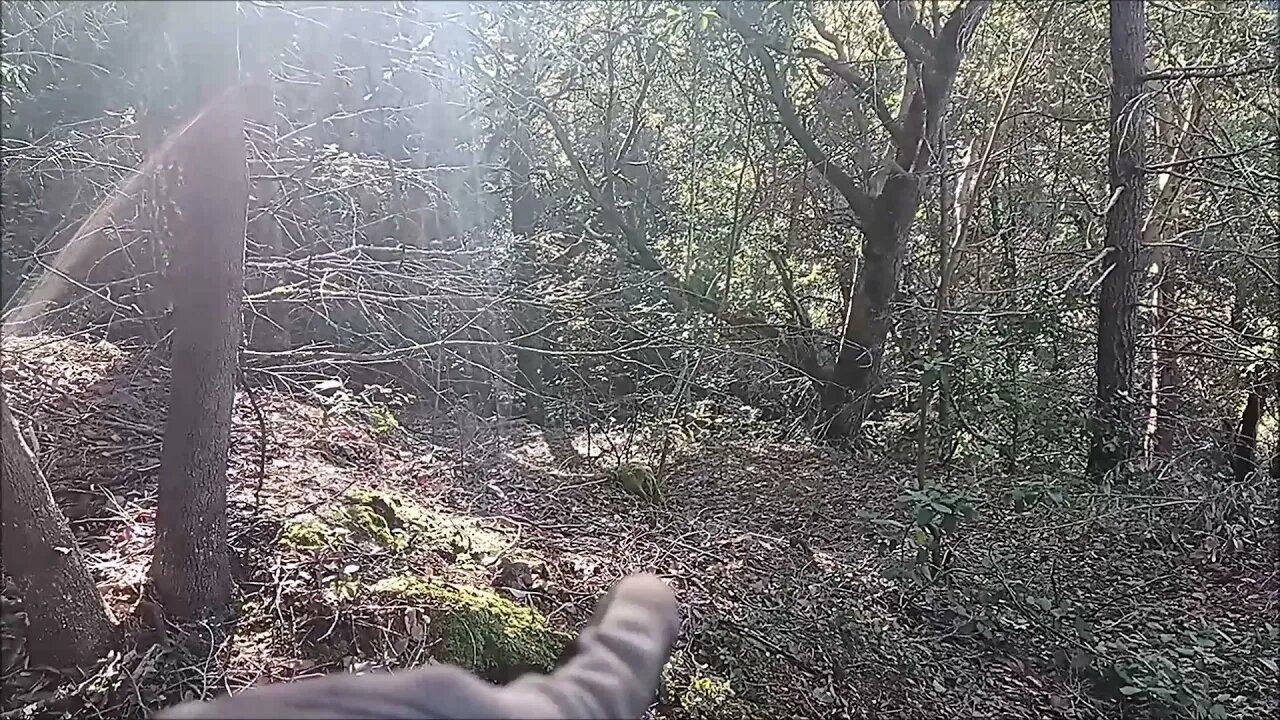
Came out on foot to check out an old road I saw near the top of the Grizzly Flat / North Trail in Upper Stevens Creek County Park. Wanted to see where it went and if it may have connected down to the end of the 1895 road at the end of Stevens Creek Branch D.
This old road didn't go very far down the canyon, in fact is ends a few hundred feet vertically below the modern trail head. Not sure the purpose of this road, there's a platform that was built at the end. If it was a log skidding operation, it must have been a chore to back log trucks down the narrow road since there's no place to turn a truck around at the end. This road doesn't appear on any maps. It looks like it may been constructed around the same time as the Grizzly Flat road. Grizzly Flat North Road first appears on the 1961 USGS topo map.
About the USGS HTMC:
https://www.usgs.gov/programs/national-geospatial-program/historical-topographic-maps-preserving-past
View/download maps on the TopoView site:
https://ngmdb.usgs.gov/topoview/
I used the 1895 Palo Alto quadrangle or the 1900 historical topo as listed in GaiaGPS:
https://www.gaiagps.com/
More to come...
Subscribe for more content like this
Comment, rate, share & click the bell icon
And as always, thanks for watching
-
 LIVE
LIVE
Fresh and Fit
4 hours agoCall-In Show
3,974 watching -
 LIVE
LIVE
Roseanne Barr
2 hours agoMAGA BITCHES!!!!! | The Roseanne Barr Podcast #73
7,730 watching -
 LIVE
LIVE
Flyover Conservatives
20 hours agoThe SEAL-Turned-CEO Paying Off Millions in Veteran Medical Debt: JOIN THE MISSION! - Bear Handlon, Born Primitive | FOC Show
47 watching -
 5:07:14
Nerdrotic
6 hours ago $44.64 earnedThe Great Hollywood MELTDOWN! A Culture War VICTORY Friday Night Tights 327 w/ Matthew Marsden
148K1 -
 LIVE
LIVE
Akademiks
1 day agoYoung Thug Declares war on Gunna? Donald Trump next President! 6ix9ine gets 60 Days in Jail.
5,096 watching -
 LIVE
LIVE
LFA TV
1 day agoIt Was a Red Wave | Trumpet Daily 11.8.24 9PM EST
894 watching -
 10:24
10:24
Guns & Gadgets 2nd Amendment News
5 hours agoBREAKING NEWS: Illinois Assault Weapons Ban STRUCK DOWN!!!
7463 -
 1:24:47
vivafrei
4 hours agoArizona Chicanery! Iran Plot! Canada McCarthyism AND MORE!
58.9K66 -
 1:16:02
Candace Show Podcast
5 hours agoFormer CIA Officer Exposes The Shadow Government | Candace Ep 100
104K206 -
 34:37
34:37
Stephen Gardner
4 hours ago🔥Trump sends SHOCKWAVES with TERRIFYING New Threat + Biden BACKSTABBED Kamala with POWER PLAY!!
50.2K58