Premium Only Content
This video is only available to Rumble Premium subscribers. Subscribe to
enjoy exclusive content and ad-free viewing.

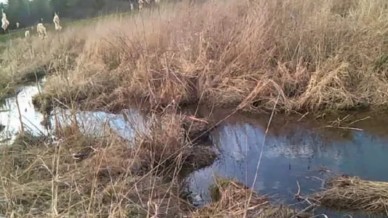
WATER meets the ROAD - Route 196 gets hit head on by Shine Hill & North Road WATERSHED!
4 years ago
1
Champlain Canal Map. This water source (waterway) is listed:
http://www.canals.ny.gov/maps/
Route 196 property which I cleared MYSELF & Hired Excavator to do the entire length of Route 196 roadway. 1100 feet of brush covered 20 feet high in roadway in front of my Parents & my property. This is a video in series of short videos along the ditch from Route 196 along the Roadway which FLOODS OVER when it is raining long and hard. There is MORE videos before this from Pond to Route 196. Recorded April 16, 2020.
Loading comments...
-
 LIVE
LIVE
GamersErr0r
17 hours agoOverwatch 2
210 watching -
 LIVE
LIVE
Phyxicx
3 hours agoRocket League with Friends! - 11/22/2024
102 watching -
 LIVE
LIVE
STARM1X16
4 hours agoFriday Night Fortnite
113 watching -
 29:51
29:51
Afshin Rattansi's Going Underground
19 hours agoJimmy Dore on Ukraine & WW3: Biden Wants a War that Trump CAN’T Stop, ONLY Hope is Putin’s Restraint
56.7K18 -
 DVR
DVR
Fresh and Fit
5 hours agoExposing WHO Killed JFK w/ Cory Hughes & Tommy Sotomayor
72.6K24 -

RanchGirlPlays
5 hours ago🔴 Red Dead Redemption: Let's go help De Santa 🤠
2.15K1 -
 LIVE
LIVE
Man in America
12 hours agoWHAT?! Trump & the Fed are DISMANTLING the Global Banking Cartel!? w/ Tom Luongo
2,425 watching -
 2:00:29
HELMET FIRE
2 hours agoDEADROP IS BACK!
3.11K2 -
 LIVE
LIVE
I_Came_With_Fire_Podcast
7 hours agoLive Fire (No Exercise) with DAN NUNN!!!
271 watching -
 1:57:20
Glenn Greenwald
7 hours agoBiden's Escalation Of The War In Ukraine With Scott Horton; Lee Fang On The Junk Food Industry Sabotaging RFK Jr.'s Plans & The Gaetz Situation | SYSTEM UPDATE #371
77K79