Premium Only Content
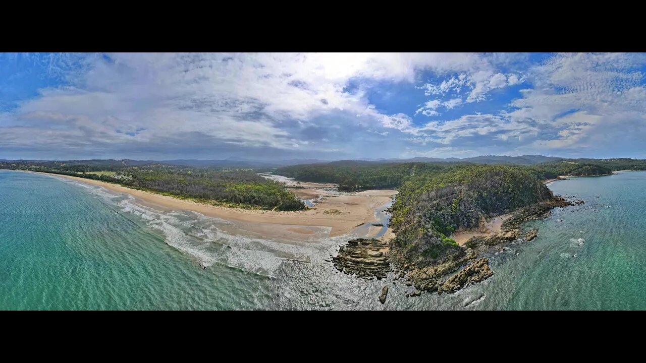
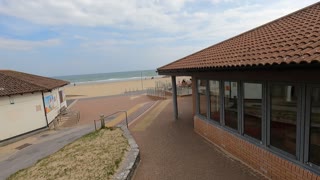
Nullica River & Beach 12 Jan 2021 near Eden Drone fly around
The Nullica River rises below Nullica Hill within Nullica State Forest, approximately 11 kilometres west of Eden, The river flows generally east southeast, joined by one minor tributary, before reaching its mouth and emptying into Nullica Bay, within Twofold Bay, and spilling into the Tasman Sea of the South Pacific Ocean, east of Nullica. The river descends 137 metres over its 11 kilometres course The catchment area of the river is 55 square kilometres with a volume of 176 megalitres over a surface area of 0.3 square kilometres, at an average depth of 0.6 metres. West of the river's mouth, the Princes Highway crosses the Nullica River. FROM WikiPedia.#mallacootaholidays #loveeastgipsland #mallacoota2020 #lovemallacoota © mallacoota2020.com.au #loveeden
-
 4:49
4:49
Mallacoota 2020 videos
3 years agoBetka River 12 December 2021 drone fly around
6 -
 8:27
8:27
Mallacoota 2020 videos
3 years agoBetka River and Beach 3 December 2021 by drone
5 -
 1:04
1:04
My Life
3 years agoDrone Show Coogee Beach 2021
30 -
 6:16
6:16
Mallacoota 2020 videos
3 years agoBetka River Mouth 2nd July 2021 6 minute drone fly around
1 -
 0:36
0:36
TheSouthernWoodsmanUk
2 years agoDrone footage. Bournemouth beach.
6 -
 LIVE
LIVE
Film Threat
23 hours agoGOLDEN GLOBES WATCH PARTY 2025 | Film Threat Awards LIVE Coverage
648 watching -
 LIVE
LIVE
MyronGainesX
4 hours agoFormer Fed Explains The Torso Killer
1,650 watching -
 2:43:18
Nerdrotic
4 hours ago $5.90 earnedCybertruck Explosion Rabbit Hole | Forbidden Frontier #086
25.7K3 -
 3:28:23
vivafrei
10 hours agoEop. 244: FBI Seeks HELP for Jan. 6? FBI Taints New Orleans Crime Scene? Amos Miller, Lawfare & MORE
131K132 -

Joker Effect
3 hours ago2025 already started up with a bang! Alex Jones, Bree, Elon Musk, Nick Fuentes, Fousey
13K1