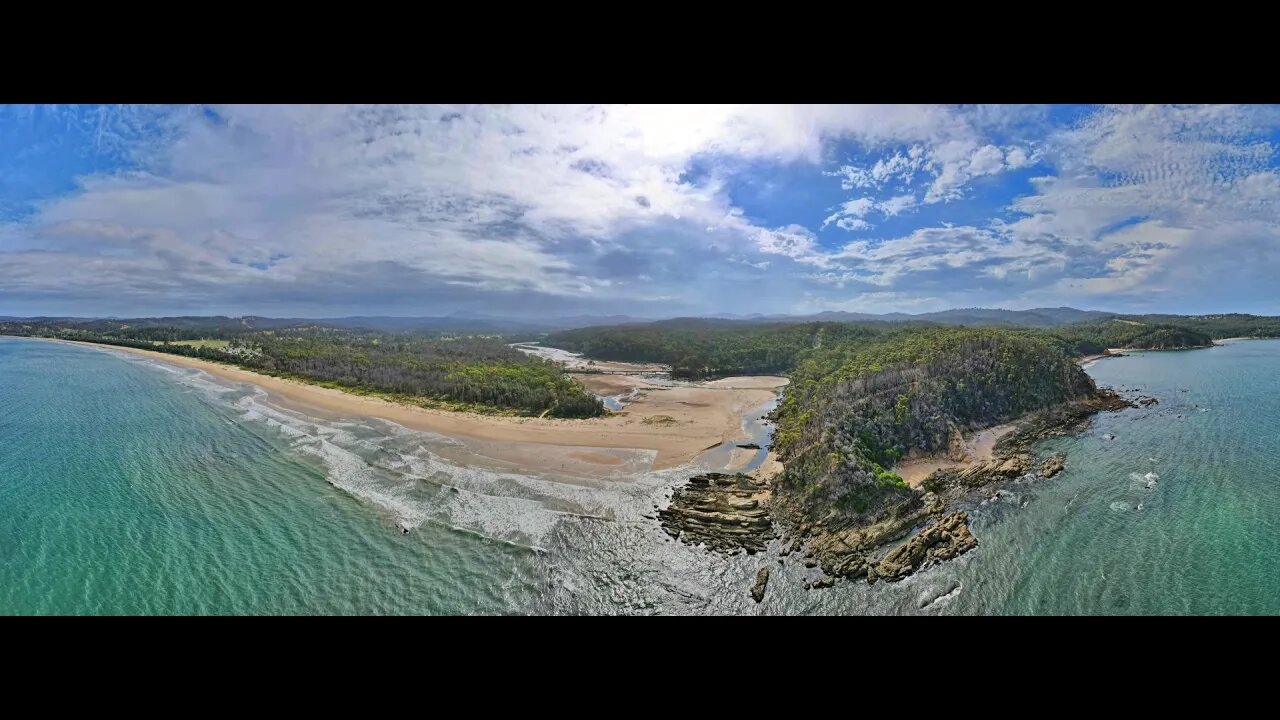
Nullica River & Beach 12 Jan 2021 near Eden Drone fly around
The Nullica River rises below Nullica Hill within Nullica State Forest, approximately 11 kilometres west of Eden, The river flows generally east southeast, joined by one minor tributary, before reaching its mouth and emptying into Nullica Bay, within Twofold Bay, and spilling into the Tasman Sea of the South Pacific Ocean, east of Nullica. The river descends 137 metres over its 11 kilometres course The catchment area of the river is 55 square kilometres with a volume of 176 megalitres over a surface area of 0.3 square kilometres, at an average depth of 0.6 metres. West of the river's mouth, the Princes Highway crosses the Nullica River. FROM WikiPedia.#mallacootaholidays #loveeastgipsland #mallacoota2020 #lovemallacoota © mallacoota2020.com.au #loveeden
-
 4:49
4:49
Mallacoota 2020 videos
3 years agoBetka River 12 December 2021 drone fly around
6 -
 8:27
8:27
Mallacoota 2020 videos
3 years agoBetka River and Beach 3 December 2021 by drone
5 -
 1:04
1:04
My Life
3 years agoDrone Show Coogee Beach 2021
30 -
 6:16
6:16
Mallacoota 2020 videos
3 years agoBetka River Mouth 2nd July 2021 6 minute drone fly around
1 -
 0:36
0:36
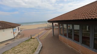
TheSouthernWoodsmanUk
2 years agoDrone footage. Bournemouth beach.
6 -
 UPCOMING
Committee on House Administration
41 minutes agoSubcommittee on Elections Hearing: “Revisiting the 2024 Election with Secretaries of State”
-
 LIVE
LIVE
The Quartering
1 hour agoTrump's Tariffs Are WORKING, RFK Betrayal, Ben Shapiro Vs Trump & Tesla Protesters EXPOSED!
15,935 watching -
 LIVE
LIVE
Russell Brand
1 hour agoI’m Facing Prison — Here’s the Truth About What’s Going on in the UK – SF561
11,579 watching -
 DVR
DVR
Sean Unpaved
2 hours agoOvechkin Reigns All-Time Leading Goal Scorer, NCAAW UConn Wins Tournament, UH vs. Florida Preview!
4.62K4 -
 1:03:59
Timcast
2 hours agoTrump Threatens 50% Tariff INCREASE As Markets IMPLODE, Trump May SAVE Gen Z
122K76