Premium Only Content

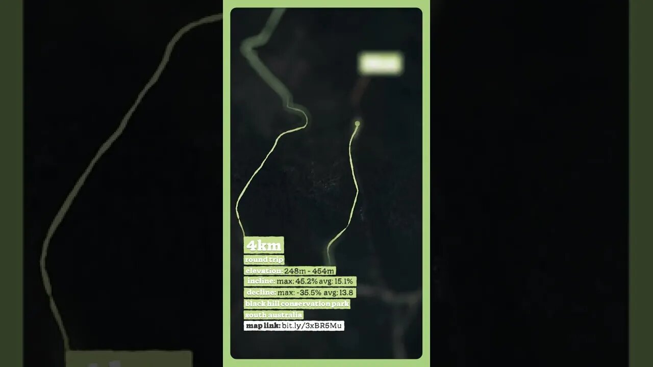
Back Up Boobook - Hiking Map
#Shorts #hiking #southaustralia #hiking #mentalhealth #australia #hikingadelaide #southaustralia #walkitoff #backontrack #bushwalking #fitness #positivementalhealth #steephikes #legday #legdayadelaide
#parkrun
• The start of this trail can be found off Montacute Rd at Black Hill SA.
• There is a small off-road carpark at the trailhead.
• The track is very steep with several hills I would call extreme either way you wish to tackle this trail.
• Boobook hill track has servers fallen trees over it be careful of your footing there and on the way down the Orchard trail.
• Not for beginners or those with injuries.
4km (circuit)
Elevation: 248m - 454m
Incline: MAX: 45.2% AVG: 15.1%
Decline: MAX: -35.5% AVG: 13.8%
Mount Osmond, South Australia.
Map Link: bit.ly/3xBR5Mu
walkitoff.com.au
facebook.com/walkitoffmentalhealthoutdoors
instagram.com/walkitoffmentalhealthoutdoors
nathan.walkitoff@gmail.com
also, check out:
imageiseverything.net.au
Map Sequence Satellite Data
© Copyright 2020 Microsoft Corporation / © 2020 Maxar / © CNES (2020) Distribution Airbus DS
Music
Pandemnesia - Wonderland
-
 4:01:18
Alex Zedra
5 hours agoLIVE! Playing Verdansk all night
40.1K -
 1:38:36
Glenn Greenwald
8 hours agoProf. John Mearsheimer on Israel's Destruction of Gaza, Trump Admin Attacks on Universities & Speech, Yemen Bombings, Tariffs & Competition with China; Plus: Q&A with Glenn | SYSTEM UPDATE #434
128K76 -
 8:00:00
SpartakusLIVE
1 day agoThe MACHINE is back after a RESTFUL 4 hours of sleep
133K6 -
 DVR
DVR
I_Came_With_Fire_Podcast
13 hours agoTARIFF TAKEOVER | REDCOATS 2.0 | DOGE FINDS SOMETHING HORRIBLE
24.3K11 -
 LIVE
LIVE
Eternal_Spartan
5 hours agoLive at 9pm Central! Come Hang Out w/ a USMC Vet Playing HALO! Can't Wait to See Everyone!!
694 watching -
 5:09:12
EzekielMaxwellVT
8 hours agoVTuber/VRumbler - Vampire The Masquerade - Listening to the voices in Jo's head
11.7K -
 6:48:45
Welsh Girl
7 hours ago🔴 Minecraft - Finding the Ender Dragon - DAY 7
18.7K3 -
 4:00:33
SynthTrax & DJ Cheezus Livestreams
1 day agoFriday Night Synthwave 80s 90s Electronica and more DJ MIX Livestream Trip-Hop SPECIAL EDITION
48.8K1 -
 4:03:27
FusedAegisTV
11 hours agoRumble Smackdown! #001 Street Fighter 6 $500 Online Tournament
72.8K8 -
 55:58
55:58
BonginoReport
9 hours agoCan Trump Make TikTok Great Again? (Ep. 20) - Nightly Scroll with Hayley Caronia - 04/04/25
147K81