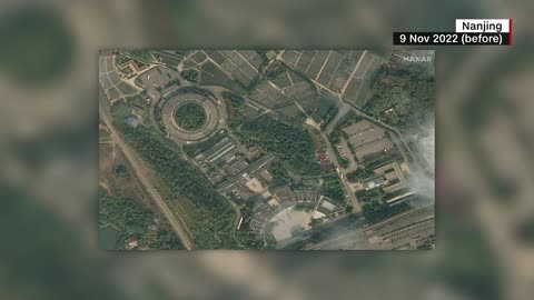
1 year agoSatellite images from Maxar, with the Russian Novocherkassk BDK completely submerged,Rumor has itVerified
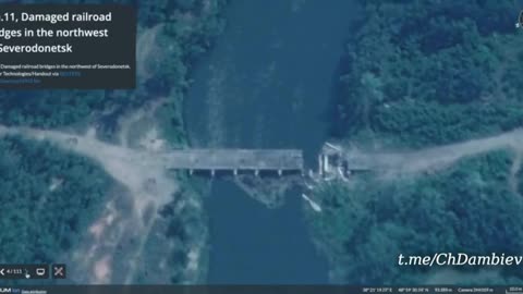
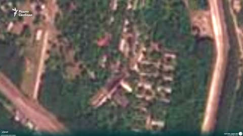
2 years agoUkraine War - Satellite images of destroyed bridges between Severodonetsk and Lisichanskat0m1KboY
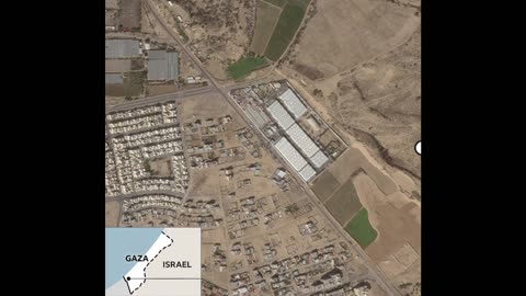
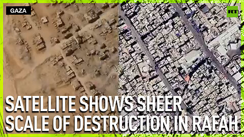
1 year agoBefore-and-after satellite images show the scale of destruction in the Gaza Strip.Rumor has itVerified
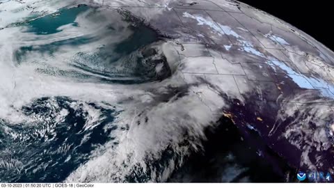
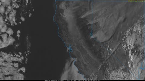
3 years agoVisible Satellite Image Loop of Caldor and Dixie Fires around 6pm 8-31Earth Wind and FireVerified
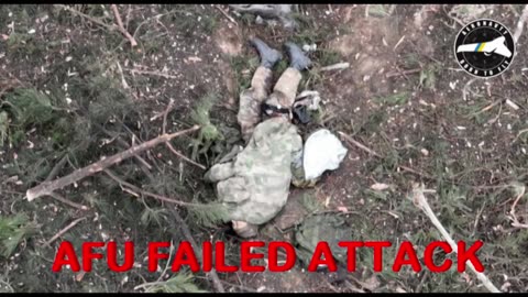
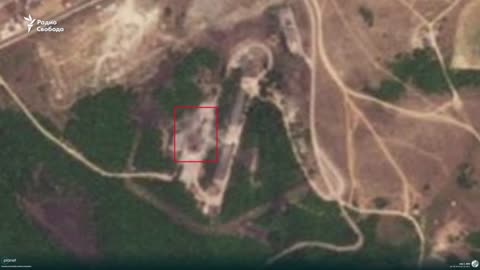
7 months ago💥👀 Satellite image of the aftermath of the Ukrainian strike on the base ofWar in UkraineVerified
9 months agoSatellite images show the USS Eisenhower docked in Saudi Arabian waters from a missile strikelonewlf9
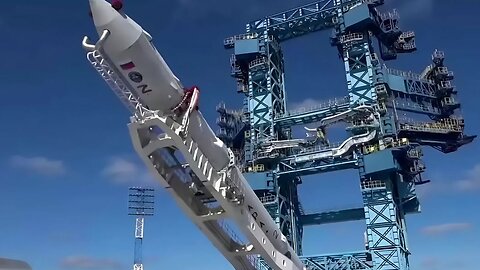
10 days agoRussia’s Angara-1.2 launch vehicle carrying military satellites lifts off Plesetsk CosmodromeTrending News
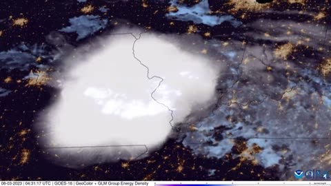
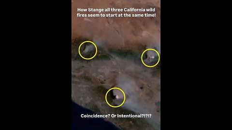
2 months agoSatellite Images Show That Three of the California Fires Started at the Same Time! Coincidence?Leisner
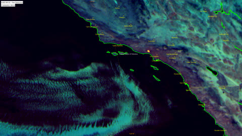
2 months agoSatellite View During California Fires 2025 (Training Purposes Only)Wonder of Nature Baby