2 years agoSATELLITE IMAGES SHOW GLOBAL CROP DECLINE-EXCEPT RUSSIAN & CHINESE RECORD HARVESTS*THE WAR ON HUMANSEEARTS
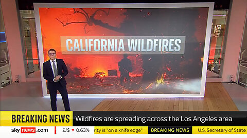
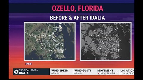
1 month agoBefore & After: Satellite Images Show Destruction Caused By California Wildfires & Democrat PoliciesNewsVids
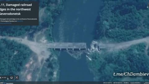
2 years agoUkraine War - Satellite images of destroyed bridges between Severodonetsk and Lisichanskat0m1KboY
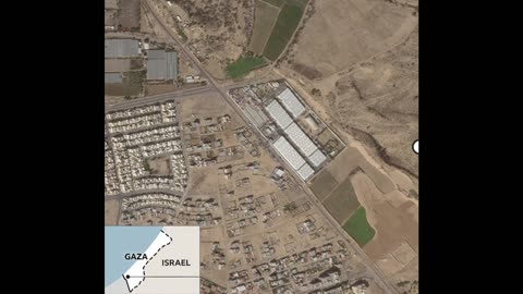
1 year agoBefore-and-after satellite images show the scale of destruction in the Gaza Strip.Rumor has itVerified
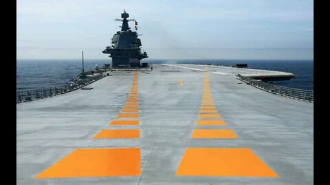
2 years agoSatellite Images Show China Set to Launch Advanced Aircraft CarrierRestored RepublicVerified
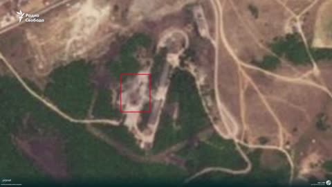
7 months agoUkraine hits airbase where Su-34, Su-24 aircraft are stationed in Russia’s Rostov –Satellite imagesStay Tuned News
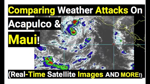
1 year agoComparing Weather Attacks On Acapulco & Maui! (Real-Time Satellite Images AND MORE!Blossominnerwellness
7 months agoGravitas: China rehearses hitting US fighter jet bases, new satellite images showPresidentTrump2024
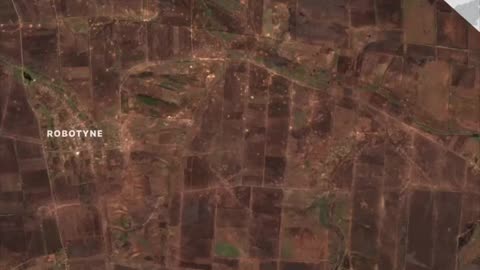
1 year ago🌍 Ukraine Landscape Changes | Satellite Images Last 4 Months | South Ukraine | UA Perspective | RCFRCF - Real Combat Footage: Unfiltered Perspectives on War Military Actions and Conflicts
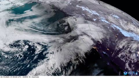
3 years agoVisible Satellite Image Loop of Caldor and Dixie Fires around 6pm 8-31Earth Wind and FireVerified
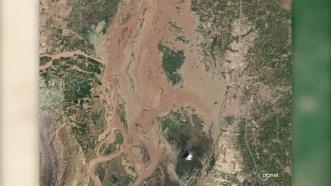
4 years agoBefore and after: Satellite images show coronavirus impact around the globeJust the NewsVerified