Utah!
13 videos
Updated 4 months ago
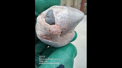
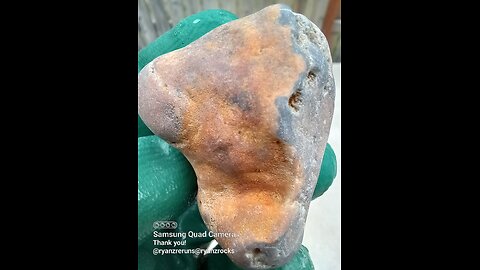
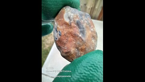
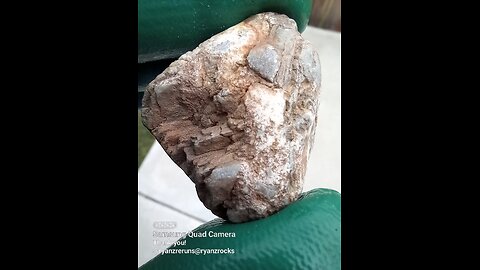
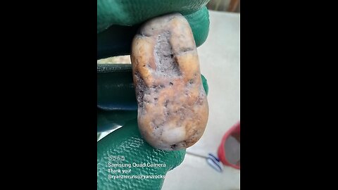
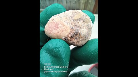
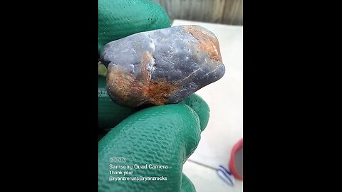
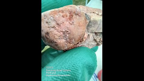
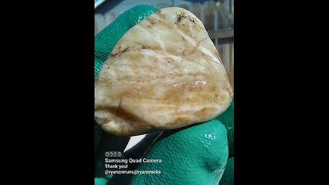
Found in Utah!
Utah's geological profile is incredibly diverse, showcasing some of the most dramatic and varied landscapes in the United States. Here's an overview:
Geological History:
Precambrian to Paleozoic: Utah's oldest rocks are found in the Uinta Mountains, dating back to the Precambrian era. Paleozoic seas covered much of Utah, depositing limestone, sandstone, and shale, which are now seen in formations like the Wasatch Range and the Grand Staircase.
Mesozoic: This era brought dinosaurs to Utah, with vast deposits of sedimentary rock forming from deserts, rivers, and shallow seas. The famous Morrison Formation contains numerous dinosaur fossils.
Cenozoic: Significant mountain building, basin and range formation, and volcanic activity shaped modern Utah. The Sevier and Laramide orogenies uplifted mountains, while the Basin and Range Province created the characteristic north-south trending mountains and valleys.
Geological Features:
Mountain Ranges:
Wasatch Range: A dramatic example of fault-block mountains, still rising due to tectonic activity.
Uinta Mountains: Unique for running east-west, these are some of the oldest rocks in North America.
Other Ranges: Including the La Sal, Henry, and Abajo Mountains, many of which are laccoliths or volcanic in origin.
Plateaus: The Colorado Plateau, where Utah's famous "Mighty 5" National Parks are located, features spectacular rock formations due to uplift, erosion, and differential weathering.
Canyons: The formation of the Grand Canyon extends into Utah with the Glen Canyon, now Lake Powell, and numerous other gorges.
Deserts: The Great Basin and Mojave Deserts extend into Utah, characterized by vast salt flats like the Bonneville Salt Flats, remnants of ancient Lake Bonneville.
Unique Formations:
Arches National Park: Known for its natural arches, formed by erosion of the Entrada Sandstone.
Zion National Park: Features towering sandstone cliffs carved by the Virgin River.
Bryce Canyon National Park: Famous for its hoodoos, formed in the Claron Formation.
Capitol Reef National Park: Showcases the Waterpocket Fold, a monocline uplift.
Canyonlands National Park: Illustrates the confluence of the Colorado and Green Rivers, with dramatic mesa and canyon landscapes.
Geological Resources:
Minerals: Utah has significant deposits of copper, gold, silver, uranium, and coal. The Bingham Canyon Mine is one of the largest open-pit copper mines in the world.
Fossils: Rich in dinosaur fossils, particularly in the Morrison Formation and Cedar Mountain Formation.
Energy: Oil, natural gas, and geothermal energy resources are also present.
Geological Hazards:
Earthquakes: Utah sits on several fault lines, notably the Wasatch Fault, posing risks for significant seismic activity.
Landslides: Particularly in areas with steep slopes and soft rock layers.
Flash Floods: Common in the slot canyons of southern Utah due to sudden, intense rainfall.
Research and Education:
Utah Geological Survey (UGS): Provides extensive studies, maps, and public resources on Utah's geology, including earthquake risks and mineral resources.
Geotourism: Utah's geological features make it a prime destination for geologists, rockhounds, and outdoor enthusiasts.
Utah's geological tapestry is not only a visual spectacle but also a rich field for scientific study, illustrating a broad spectrum of geological processes and histories. The state's landscapes are both a testament to earth's dynamic nature and a valuable resource for understanding geological phenomena.
